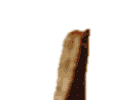
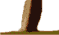
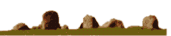
 Carrowmore
|
Carrowmore
|
|
|
OS Map Reference G166333.
This circle is in the county of Co. Sligo.
The nearest village is Standhill.
The nearest town is Sligo.
To help get to the circle refer to OS map 2 (West).
More details of this site can be seen at:
Follow the link to the web site where more details are available.....
Go back to map sheet G.
Go back to the map of the British Isles.
This information is brought to you by Andy and Alastair's Cheeseless ProductionsTM. This page published on 02/04/98 20:35:16.